 Given the near ubiquity of digital information and high-tech gadgets, and the myriad ways in which they simplify our lives, I always find it refreshing when a new, truly innovative product comes along which, instead of processors, pixels and plastic, is developed using nothing more than the age-old pairing of ink on paper.
In a recent Wired article, the author tells the story of a British innovator who harnessed the power of printing to create a paper map that zooms as it’s unfolded.
The idea evolved from a project completed by then-college-student Anne Stauche. Her initial creation, a digital map, was designed for an information kiosk at Germany’s Expo 2000 World Fair, at which visitors could zoom in to view more detailed areas of a public park.
At the time her creation was truly innovative (predating Google Maps by several years), but the available technology couldn’t help turn the zoomable-map concept into a handheld version.
Instead of abandoning her idea, Stauche, sought a solution that embodied the digital zooming capability in paper form.
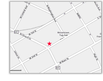
The Map2, as it’s called today, unfolds to reveal more detailed views of a particular city’s quadrants.
The Wired article provides a video clip that demonstrates the map’s simplicity, which I have to say, is awfully cool.
While the only versions currently available are of London and Berlin, I’m pretty sure I’d buy one if I were travelling to either of those cities.
In a broader sense the Map2 example demonstrates the ways in which innovation still happens via relatively rudimentary components, printing being one of them.
To learn more about digital printing innovations in action, I encourage you to visit the Xerox blog, Digital Printing Hotspot.